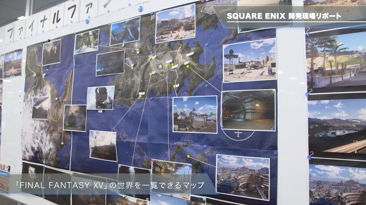
i just realized something awful about the map:

huge chunks of the land doesn't have specific names attached to them which could mean they are not explorable.
on leide region is evident.
in this map you can see at least 4 other marked regions in the other continent (Terraverde?)

the layout of the final map is different tho:

it's been really hard to predict how big the world is since the clay model map was changed (even more since tabata said once the map "was a connected landmass").

huge chunks of the land doesn't have specific names attached to them which could mean they are not explorable.
on leide region is evident.
in this map you can see at least 4 other marked regions in the other continent (Terraverde?)

the layout of the final map is different tho:

it's been really hard to predict how big the world is since the clay model map was changed (even more since tabata said once the map "was a connected landmass").
Last edited:


